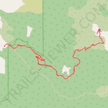
Rangiwahia Hutt walk
- Distance: 9.4 Km
- Elevation gain: 743 m
- Maximum elevation: 1,311 m
- Elevation loss: 740 m
- Minimum elevation: 821 m
- Moving time: 2 h 40 m
- Moving speed: 3.5 Km/h
- Maximum speed: 20.0 Km/h
- Total time: 3 h 17 m
- Global speed: 2.9 Km/h
Interactive trail map
Trail profile
- Distance: 9.4 Km
- Elevation gain: 743 m
- Maximum elevation: 1,311 m
- Elevation loss: 740 m
- Minimum elevation: 821 m
- Moving time: 2 h 40 m
- Moving speed: 3.5 Km/h
- Maximum speed: 20.0 Km/h
- Total time: 3 h 17 m
- Global speed: 2.9 Km/h
About this trail
Name: Rangiwahia Hutt walk trail, distance, elevation, map, profile, GPS track
Start: Renfrew Road, Manawatū District, Manawatū-Whanganui, New Zealand (-39.89371 175.99661)
End: Renfrew Road, Manawatū District, Manawatū-Whanganui, New Zealand (-39.89379 175.99669)
Coordinates: -39.89951 175.99661 -39.89059 176.01942