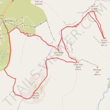
Munro hillwalk, Druim Mor, Creag Leacach, Glas Maol, Meall Odhar
- Distance: 22.6 Km
- Elevation gain: 974 m
- Maximum elevation: 1,067 m
- Elevation loss: 974 m
- Minimum elevation: 465 m
- Moving time: 5 h 49 m
- Moving speed: 3.9 Km/h
- Maximum speed: 33.0 Km/h
- Total time: 6 h 25 m
- Global speed: 3.5 Km/h
Interactive trail map
Trail profile
- Distance: 22.6 Km
- Elevation gain: 974 m
- Maximum elevation: 1,067 m
- Elevation loss: 974 m
- Minimum elevation: 465 m
- Moving time: 5 h 49 m
- Moving speed: 3.9 Km/h
- Maximum speed: 33.0 Km/h
- Total time: 6 h 25 m
- Global speed: 3.5 Km/h
About this trail
Name: Munro hillwalk, Druim Mor, Creag Leacach, Glas Maol, Meall Odhar trail, distance, elevation, map, profile, GPS track
Start: Old Military Road, Perth and Kinross, Scotland, PH10 7QQ, United Kingdom (56.86444 -3.41392)
End: Old Military Road, Perth and Kinross, Scotland, PH10 7QQ, United Kingdom (56.86443 -3.41383)
Coordinates: 56.85080 -3.41392 56.89094 -3.32892