Cypress Peak Whistler Scramble
- Distance: 20.0 Km
- Elevation gain: 1,451 m
- Maximum elevation: 2,039 m
- Elevation loss: 1,453 m
- Minimum elevation: 699 m
- Moving time: 5 h 31 m
- Moving speed: 3.6 Km/h
- Maximum speed: 26.4 Km/h
- Total time: 6 h 55 m
- Global speed: 2.9 Km/h
Interactive trail map
Trail profile
- Distance: 20.0 Km
- Elevation gain: 1,451 m
- Maximum elevation: 2,039 m
- Elevation loss: 1,453 m
- Minimum elevation: 699 m
- Moving time: 5 h 31 m
- Moving speed: 3.6 Km/h
- Maximum speed: 26.4 Km/h
- Total time: 6 h 55 m
- Global speed: 2.9 Km/h
About this trail
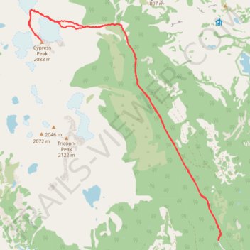
Name: Cypress Peak Whistler Scramble trail, distance, elevation, map, profile, GPS track
Coordinates: 49.99056 -123.25797 50.04291 -123.19030