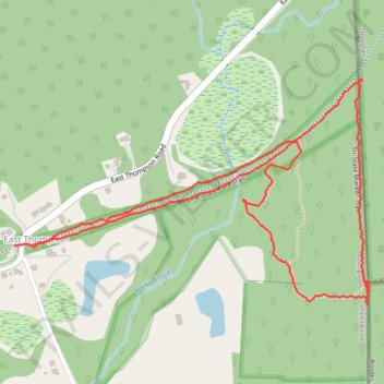
Air Line State Park Trail and Tri-State Marker Loop Trail
- Distance: 3.1 Km
- Elevation gain: 62 m
- Maximum elevation: 185 m
- Elevation loss: 62 m
- Minimum elevation: 143 m
- Moving time: 1 h 4 m
- Moving speed: 2.9 Km/h
- Maximum speed: 6.2 Km/h
- Total time: 1 h 17 m
- Global speed: 2.4 Km/h
Interactive trail map
Trail profile
- Distance: 3.1 Km
- Elevation gain: 62 m
- Maximum elevation: 185 m
- Elevation loss: 62 m
- Minimum elevation: 143 m
- Moving time: 1 h 4 m
- Moving speed: 2.9 Km/h
- Maximum speed: 6.2 Km/h
- Total time: 1 h 17 m
- Global speed: 2.4 Km/h
About this trail
Name: Air Line State Park Trail and Tri-State Marker Loop Trail trail, distance, elevation, map, profile, GPS track
Coordinates: 42.00758 -71.80929 42.01236 -71.79915