Import a GPX file

Santa Margarita River

Hike along the Santa Margarita River from Creek Drive. #Hiking #River #Nature #Forest

  • Distance: 4.7 Km
  • Elevation gain: 114 m
  • Maximum elevation: 148 m
  • Elevation loss: 87 m
  • Minimum elevation: 107 m

Interactive trail map

Trail profile

  • Distance: 4.7 Km
  • Elevation gain: 114 m
  • Maximum elevation: 148 m
  • Elevation loss: 87 m
  • Minimum elevation: 107 m

About this trail

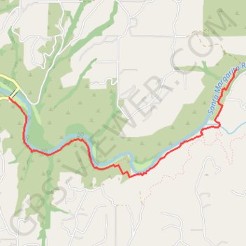
Name: Santa Margarita River trail, distance, elevation, map, profile, GPS track

Start: Creek Drive, San Diego County, California, United States (33.41360 -117.24169)

End: 43698, Via del Rio, San Diego County, California, 92028, United States (33.41682 -117.21235)

Coordinates: 33.40513 -117.24169 33.41682 -117.21235

Gear up for your next adventure:

🧤Thermal Hiking Gloves - Keep your hands warm and functional during high-altitude winter treks
🕶️Polarized Outdoor Sunglasses - Reduce glare from rocks and water for better visual navigation
☀️Portable Solar Chargers - High-efficiency panels to hang on your backpack while walking
📸Action Cameras - Record your journey across interesting topographic features in 4K
🥶Thermal Beanies - Warm hats for cold hikes

As an Amazon Associate, this site earns from qualifying purchases at no extra cost to you.