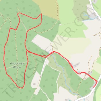
Blackhouse Lane and Anacrivey woods loop
- Distance: 5.1 Km
- Elevation gain: 175 m
- Maximum elevation: 373 m
- Elevation loss: 173 m
- Minimum elevation: 208 m
- Moving time: 1 h 7 m
- Moving speed: 4.6 Km/h
- Maximum speed: 12.1 Km/h
- Total time: 1 h 15 m
- Global speed: 4.1 Km/h
Interactive trail map
Trail profile
- Distance: 5.1 Km
- Elevation gain: 175 m
- Maximum elevation: 373 m
- Elevation loss: 173 m
- Minimum elevation: 208 m
- Moving time: 1 h 7 m
- Moving speed: 4.6 Km/h
- Maximum speed: 12.1 Km/h
- Total time: 1 h 15 m
- Global speed: 4.1 Km/h
About this trail
Name: Blackhouse Lane and Anacrivey woods loop trail, distance, elevation, map, profile, GPS track
Coordinates: 53.19207 -6.21837 53.20086 -6.20012
Other hiking, mountain biking, running and outdoor activity trails
Click on a trail to view its statistics, map and profile.