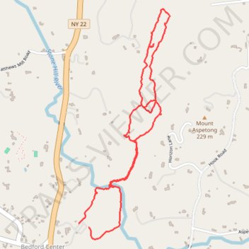
St Matthew's Woods + Ketchem Sanctuary
- Distance: 4.4 Km
- Elevation gain: 130 m
- Maximum elevation: 188 m
- Elevation loss: 126 m
- Minimum elevation: 116 m
- Moving time: 54 m 48 s
- Moving speed: 4.8 Km/h
- Maximum speed: 10.2 Km/h
- Total time: 1 h 17 s
- Global speed: 4.4 Km/h
Interactive trail map
Trail profile
- Distance: 4.4 Km
- Elevation gain: 130 m
- Maximum elevation: 188 m
- Elevation loss: 126 m
- Minimum elevation: 116 m
- Moving time: 54 m 48 s
- Moving speed: 4.8 Km/h
- Maximum speed: 10.2 Km/h
- Total time: 1 h 17 s
- Global speed: 4.4 Km/h
About this trail
Name: St Matthew's Woods + Ketchem Sanctuary trail, distance, elevation, map, profile, GPS track
Coordinates: 41.22050 -73.65538 41.23387 -73.64835
Other hiking, mountain biking, running and outdoor activity trails
Click on a trail to view its statistics, map and profile.