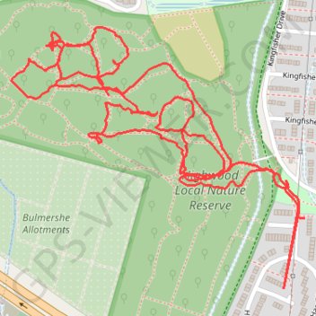
High Wood Internal Paths Woodley
Evening Walk
Woodley, Berkshire, High Wood
- Distance: 3.5 Km
- Elevation gain: 16 m
- Maximum elevation: 66 m
- Elevation loss: 17 m
- Minimum elevation: 55 m
Interactive trail map
Trail profile
- Distance: 3.5 Km
- Elevation gain: 16 m
- Maximum elevation: 66 m
- Elevation loss: 17 m
- Minimum elevation: 55 m
About this trail
Name: High Wood Internal Paths Woodley trail, distance, elevation, map, profile, GPS track
Coordinates: 51.44399 -0.92395 51.44815 -0.91648