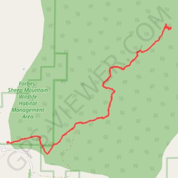
Sheep Mountain
- Distance: 18.3 Km
- Elevation gain: 522 m
- Maximum elevation: 2,918 m
- Elevation loss: 524 m
- Minimum elevation: 2,495 m
- Moving time: 4 h 5 m
- Moving speed: 4.5 Km/h
- Maximum speed: 7.5 Km/h
- Total time: 5 h 34 m
- Global speed: 3.3 Km/h
Interactive trail map
Trail profile
- Distance: 18.3 Km
- Elevation gain: 522 m
- Maximum elevation: 2,918 m
- Elevation loss: 524 m
- Minimum elevation: 2,495 m
- Moving time: 4 h 5 m
- Moving speed: 4.5 Km/h
- Maximum speed: 7.5 Km/h
- Total time: 5 h 34 m
- Global speed: 3.3 Km/h
About this trail
Name: Sheep Mountain trail, distance, elevation, map, profile, GPS track
Start: Fox Creek Road, Albany, Albany County, Wyoming, United States (41.17151 -106.06868)
End: Fox Creek Road, Albany, Albany County, Wyoming, United States (41.17145 -106.06825)
Coordinates: 41.16826 -106.06868 41.20474 -106.00741