Yarrow Creek trail hike
- Distance: 27.5 Km
- Elevation gain: 834 m
- Maximum elevation: 2,047 m
- Elevation loss: 834 m
- Minimum elevation: 1,472 m
- Moving time: 6 h 56 m
- Moving speed: 4.0 Km/h
- Maximum speed: 58.0 Km/h
- Total time: 9 h 32 m
- Global speed: 2.9 Km/h
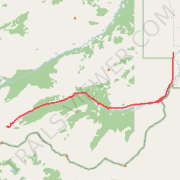
Interactive trail map
Trail profile
- Distance: 27.5 Km
- Elevation gain: 834 m
- Maximum elevation: 2,047 m
- Elevation loss: 834 m
- Minimum elevation: 1,472 m
- Moving time: 6 h 56 m
- Moving speed: 4.0 Km/h
- Maximum speed: 58.0 Km/h
- Total time: 9 h 32 m
- Global speed: 2.9 Km/h
About this trail
Name: Yarrow Creek trail hike trail, distance, elevation, map, profile, GPS track
Start: Yarrow Ridge Route, Municipal District of Pincher Creek No. 9, Alberta, Canada (49.22075 -113.97106)
End: Yarrow Ridge Route, Municipal District of Pincher Creek No. 9, Alberta, Canada (49.22071 -113.97095)
Coordinates: 49.18415 -114.09519 49.22076 -113.97092