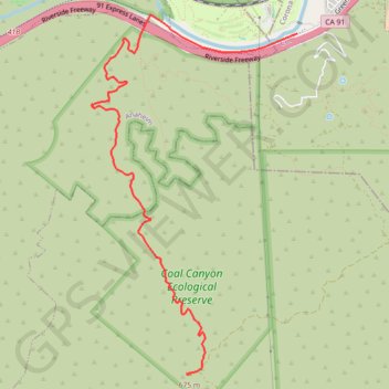
Import a GPX file

Coal Canyon

Hike to the summit of the Coal Canyon Ecological Preserve via the Santa Ana River, the Chino Hills State Park and the Coal Canyon Trail. #Hiking #Nature #Mountain #River #Forest #Canyon #Park

  • Distance: 7.9 Km
  • Elevation gain: 559 m
  • Maximum elevation: 676 m
  • Elevation loss: 24 m
  • Minimum elevation: 127 m

Interactive trail map

Trail profile

  • Distance: 7.9 Km
  • Elevation gain: 559 m
  • Maximum elevation: 676 m
  • Elevation loss: 24 m
  • Minimum elevation: 127 m

About this trail

Gear up for your next adventure:

🔦LED Torches - LED torches for outdoor use
🎒Ultralight Backpacks - Lightweight packs for long hikes
🧥Packable Rain Jackets - Breathable waterproof layers for unpredictable mountain weather
🧭Compass - Navigation compasses for outdoor exploration
🩹First Aid Kits - Emergency kits for hiking

As an Amazon Associate, this site earns from qualifying purchases at no extra cost to you.