
Ramsey Cascades Trail in Great Smoky Mountains National Park
The Ramsey Cascades Trail offers a picturesque yet demanding hike through lush old-growth forests. Along the way, hikers are treated to sights of towering trees, such as tulip poplars and yellow birches, alongside babbling creeks and moss-covered boulders. The journey culminates at the park's tallest waterfall, Ramsey Cascades, where water cascades dramatically down layered rocks into a serene pool surrounded by verdant foliage, making it a stunning reward for the trek. #Hiking #Mountain #Waterfall #River #Forest #Nature
- Distance: 12.8 Km
- Elevation gain: 689 m
- Maximum elevation: 1,322 m
- Elevation loss: 689 m
- Minimum elevation: 638 m
Interactive trail map
Trail profile
- Distance: 12.8 Km
- Elevation gain: 689 m
- Maximum elevation: 1,322 m
- Elevation loss: 689 m
- Minimum elevation: 638 m
About this trail
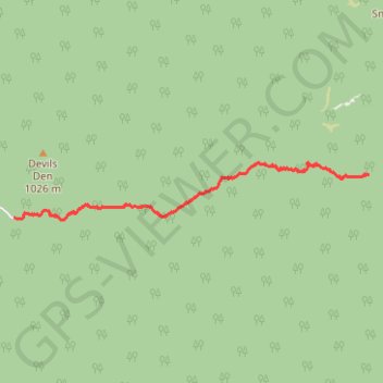
Name: Ramsey Cascades Trail in Great Smoky Mountains National Park trail, distance, elevation, map, profile, GPS track
Start: Ramsey Cascades Trail, Sevier County, East Tennessee, Tennessee, United States (35.70265 -83.35738)
End: Ramsey Cascades Trail, Sevier County, East Tennessee, Tennessee, United States (35.70265 -83.35735)
Coordinates: 35.70255 -83.35809 35.71011 -83.30014
Other hiking, mountain biking, running and outdoor activity trails
Click on a trail to view its statistics, map and profile.
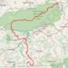
Great Smoky Mountains Appalachian Trail
United States > North Carolina > Clay County
Hike through Great Smoky Mountains along Appalachian Trail via Standing Indian, Ridgepole Mountain, Yellow Bald, Wine Spring Bald, Copper Ridge Bald, Cheoah Bald, Wauchecha Bald, Fontana Dam, Thunderhead Mountain, Clingmans Dome, Mount Kephart and Mount Guyot. #Hiking #Mountain #Nature #Forest #Lake…
Distance: 231.7 Km • Elevation gain: 8,873 m • Maximum elevation: 2,013 m