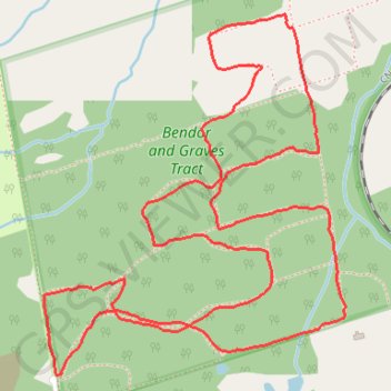
Bendor and Graves Tract - West Track
Interactive trail map
Trail profile
- Distance: 6.3 Km
- Elevation gain: 77 m
- Maximum elevation: 297 m
- Elevation loss: 77 m
- Minimum elevation: 266 m
About this trail
Name: Bendor and Graves Tract - West Track trail, distance, elevation, map, profile, GPS track
Coordinates: 44.08712 -79.36048 44.09808 -79.34771
Other hiking, mountain biking, running and outdoor activity trails
Click on a trail to view its statistics, map and profile.