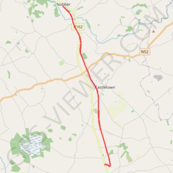
Wilkinstown to Nobber Boyne Valley to Lakelands County Greenway
Lunch Ride
- Distance: 20.3 Km
- Elevation gain: 114 m
- Maximum elevation: 85 m
- Elevation loss: 115 m
- Minimum elevation: 52 m
- Moving time: 1 h 25 m
- Moving speed: 14.3 Km/h
- Maximum speed: 28.9 Km/h
- Total time: 1 h 35 m
- Global speed: 12.8 Km/h
Interactive trail map
Trail profile
- Distance: 20.3 Km
- Elevation gain: 114 m
- Maximum elevation: 85 m
- Elevation loss: 115 m
- Minimum elevation: 52 m
- Moving time: 1 h 25 m
- Moving speed: 14.3 Km/h
- Maximum speed: 28.9 Km/h
- Total time: 1 h 35 m
- Global speed: 12.8 Km/h
About this trail
Name: Wilkinstown to Nobber Boyne Valley to Lakelands County Greenway trail, distance, elevation, map, profile, GPS track
Coordinates: 53.73857 -6.75098 53.82153 -6.70948
Other hiking, mountain biking, running and outdoor activity trails
Click on a trail to view its statistics, map and profile.
Boyne Valley to Lakelands Greenway, from Wilkinstown to Navan
Ireland > County Meath > Wilkinstown
Distance: 21.6 Km • Elevation gain: 100 m • Maximum elevation: 68 m