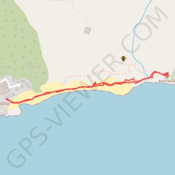
Import a GPX file

Arch Rock

#Hiking

  • Distance: 2.0 Km
  • Elevation gain: 40 m
  • Maximum elevation: 16 m
  • Elevation loss: 39 m
  • Minimum elevation: 1 m

Interactive trail map

Trail profile

  • Distance: 2.0 Km
  • Elevation gain: 40 m
  • Maximum elevation: 16 m
  • Elevation loss: 39 m
  • Minimum elevation: 1 m

About this trail

Gear up for your next adventure:

🍶Collapsible Water Bottles - Save space in your pack as you consume your water supply
🥶Thermal Beanies - Warm hats for cold hikes
🪢550 Survival Paracord - Versatile cordage for gear repair and emergency lashing
📚Map Reading & Navigation Guides - Master the art of interpreting topographic contours and symbols
🎒40L Day Hiking Backpacks - Comfortable packs with hydration support for long days exploring topographic peaks

As an Amazon Associate, this site earns from qualifying purchases at no extra cost to you.