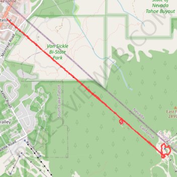
Heavenly Gondola and walking
- Distance: 9.2 Km
- Elevation gain: 933 m
- Maximum elevation: 2,822 m
- Elevation loss: 934 m
- Minimum elevation: 1,919 m
- Moving time: 53 m 29 s
- Moving speed: 10.3 Km/h
- Maximum speed: 26.8 Km/h
- Total time: 1 h 5 m
- Global speed: 8.4 Km/h
Interactive trail map
Trail profile
- Distance: 9.2 Km
- Elevation gain: 933 m
- Maximum elevation: 2,822 m
- Elevation loss: 934 m
- Minimum elevation: 1,919 m
- Moving time: 53 m 29 s
- Moving speed: 10.3 Km/h
- Maximum speed: 26.8 Km/h
- Total time: 1 h 5 m
- Global speed: 8.4 Km/h
About this trail
Name: Heavenly Gondola and walking trail, distance, elevation, map, profile, GPS track
Coordinates: 38.93410 -119.94286 38.95695 -119.90821