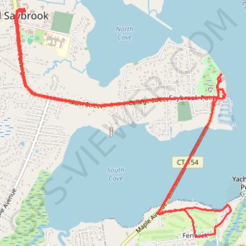
Beeline Lunch ride 19-08-2023
- Distance: 11.7 Km
- Elevation gain: 52 m
- Maximum elevation: 10 m
- Elevation loss: 52 m
- Minimum elevation: 0 m
- Moving time: 51 m 13 s
- Moving speed: 13.7 Km/h
- Maximum speed: 24.3 Km/h
- Total time: 1 h 54 m
- Global speed: 6.1 Km/h
Interactive trail map
Trail profile
- Distance: 11.7 Km
- Elevation gain: 52 m
- Maximum elevation: 10 m
- Elevation loss: 52 m
- Minimum elevation: 0 m
- Moving time: 51 m 13 s
- Moving speed: 13.7 Km/h
- Maximum speed: 24.3 Km/h
- Total time: 1 h 54 m
- Global speed: 6.1 Km/h
About this trail
Name: Beeline Lunch ride 19-08-2023 trail, distance, elevation, map, profile, GPS track
Coordinates: 41.27080 -72.37635 41.29234 -72.34916