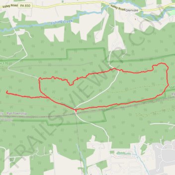
PA SGL 170
- Distance: 10.2 Km
- Elevation gain: 199 m
- Maximum elevation: 347 m
- Elevation loss: 199 m
- Minimum elevation: 193 m
- Moving time: 1 h 59 m
- Moving speed: 5.1 Km/h
- Maximum speed: 11.6 Km/h
- Total time: 2 h 5 m
- Global speed: 4.9 Km/h
Interactive trail map
Trail profile
- Distance: 10.2 Km
- Elevation gain: 199 m
- Maximum elevation: 347 m
- Elevation loss: 199 m
- Minimum elevation: 193 m
- Moving time: 1 h 59 m
- Moving speed: 5.1 Km/h
- Maximum speed: 11.6 Km/h
- Total time: 2 h 5 m
- Global speed: 4.9 Km/h
About this trail
Name: PA SGL 170 trail, distance, elevation, map, profile, GPS track
Coordinates: 40.30509 -77.03317 40.31519 -76.98915