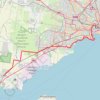
Tracked with OSMTracker for Android™
Accuracy 2-5m, includes some walking into Werribee Station
- Distance: 9.0 Km
- Elevation gain: 14 m
- Maximum elevation: 46 m
- Elevation loss: 36 m
- Minimum elevation: 21 m
- Moving time: 22 m 46 s
- Moving speed: 23.8 Km/h
- Maximum speed: 51.4 Km/h
- Total time: 22 m 46 s
- Global speed: 23.8 Km/h
Interactive trail map
Trail profile
- Distance: 9.0 Km
- Elevation gain: 14 m
- Maximum elevation: 46 m
- Elevation loss: 36 m
- Minimum elevation: 21 m
- Moving time: 22 m 46 s
- Moving speed: 23.8 Km/h
- Maximum speed: 51.4 Km/h
- Total time: 22 m 46 s
- Global speed: 23.8 Km/h
About this trail
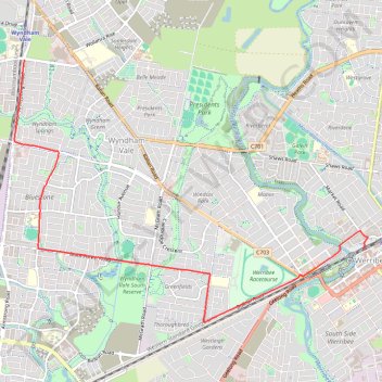
Name: Tracked with OSMTracker for Android™ trail, distance, elevation, map, profile, GPS track
Start: Armstrong Road, Manor Lakes, Melbourne, Victoria, 3024, Australia (-37.87652 144.60827)
End: Platform 1, Comben Drive, Werribee, Melbourne, Victoria, 3030, Australia (-37.89935 144.66103)
Coordinates: -37.90857 144.60676 -37.87652 144.66151
Topography: Melbourne topographic map, elevation, terrain
Other hiking, mountain biking, running and outdoor activity trails
Click on a trail to view its statistics, map and profile.
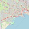
Tracked with OSMTracker for Android™
Australia > Victoria > Melbourne
Accuracy 4-2m, includes a bit of walking in Southern Cross, up direction
Distance: 33.0 Km • Elevation gain: 103 m • Maximum elevation: 28 m