Sandestin loop run
- Distance: 5.0 Km
- Elevation gain: 25 m
- Maximum elevation: 16 m
- Elevation loss: 25 m
- Minimum elevation: 4 m
- Moving time: 37 m 25 s
- Moving speed: 7.9 Km/h
- Maximum speed: 16.4 Km/h
- Total time: 37 m 25 s
- Global speed: 7.9 Km/h
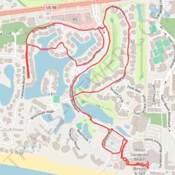
Interactive trail map
Trail profile
- Distance: 5.0 Km
- Elevation gain: 25 m
- Maximum elevation: 16 m
- Elevation loss: 25 m
- Minimum elevation: 4 m
- Moving time: 37 m 25 s
- Moving speed: 7.9 Km/h
- Maximum speed: 16.4 Km/h
- Total time: 37 m 25 s
- Global speed: 7.9 Km/h
About this trail
Name: Sandestin loop run trail, distance, elevation, map, profile, GPS track
Coordinates: 30.36956 -86.33445 30.37803 -86.32700