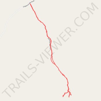
Balanced Rock Trail from Grapevine Hills Road - Chihuahuan Desert
- Distance: 3.7 Km
- Elevation gain: 95 m
- Maximum elevation: 1,067 m
- Elevation loss: 95 m
- Minimum elevation: 983 m
- Moving time: 1 h 2 m
- Moving speed: 3.5 Km/h
- Maximum speed: 9.0 Km/h
- Total time: 1 h 57 m
- Global speed: 1.9 Km/h
Interactive trail map
Trail profile
- Distance: 3.7 Km
- Elevation gain: 95 m
- Maximum elevation: 1,067 m
- Elevation loss: 95 m
- Minimum elevation: 983 m
- Moving time: 1 h 2 m
- Moving speed: 3.5 Km/h
- Maximum speed: 9.0 Km/h
- Total time: 1 h 57 m
- Global speed: 1.9 Km/h
About this trail
Name: Balanced Rock Trail from Grapevine Hills Road - Chihuahuan Desert trail, distance, elevation, map, profile, GPS track
Start: Balanced Rock Trail, Brewster County, Texas, United States (29.41042 -103.20760)
End: Balanced Rock Trail, Brewster County, Texas, United States (29.41038 -103.20760)
Coordinates: 29.39879 -103.20766 29.41042 -103.20176