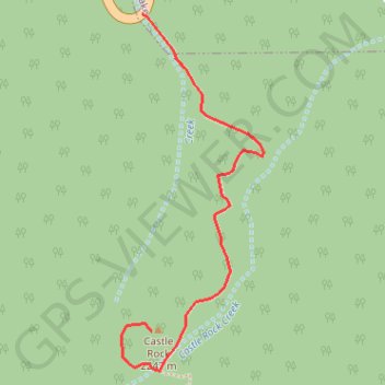
Import a GPX file

Castle Rock

Hike to the Castle Rock from Big Bear Lake along the Castle Rock Creek in the San Bernardino National Forest. #Hiking #Mountain #Forest #River #Lake #Nature

  • Distance: 1.2 Km
  • Elevation gain: 161 m
  • Maximum elevation: 2,254 m
  • Elevation loss: 6 m
  • Minimum elevation: 2,093 m

Interactive trail map

Trail profile

  • Distance: 1.2 Km
  • Elevation gain: 161 m
  • Maximum elevation: 2,254 m
  • Elevation loss: 6 m
  • Minimum elevation: 2,093 m

About this trail

Gear up for your next adventure:

👕UPF 50+ Sun Shirts - Essential protection against the harsh Australian sun during field work
📚Map Reading & Navigation Guides - Master the art of interpreting topographic contours and symbols
🎧Bluetooth Outdoor Earbuds - Listen to navigation cues or podcasts during long solo treks
📻Handheld UHF Radios - Critical communication for groups in the Australian outback
🧼Clip-on Hand Sanitizer - Maintain hygiene when water for washing is scarce

As an Amazon Associate, this site earns from qualifying purchases at no extra cost to you.