Bryce Canyon National Park Under the Rim
BCNP
- Distance: 4.5 Km
- Elevation gain: 153 m
- Maximum elevation: 2,495 m
- Elevation loss: 153 m
- Minimum elevation: 2,359 m
- Moving time: 1 h 36 m
- Moving speed: 2.8 Km/h
- Maximum speed: 5.2 Km/h
- Total time: 2 h 9 m
- Global speed: 2.1 Km/h
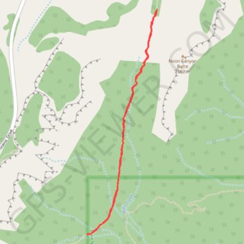
Interactive trail map
Trail profile
- Distance: 4.5 Km
- Elevation gain: 153 m
- Maximum elevation: 2,495 m
- Elevation loss: 153 m
- Minimum elevation: 2,359 m
- Moving time: 1 h 36 m
- Moving speed: 2.8 Km/h
- Maximum speed: 5.2 Km/h
- Total time: 2 h 9 m
- Global speed: 2.1 Km/h
About this trail
Name: Bryce Canyon National Park Under the Rim trail, distance, elevation, map, profile, GPS track
Start: Under-the-Rim Trail, Garfield County, Utah, United States (37.55708 -112.23108)
Coordinates: 37.53979 -112.23785 37.55720 -112.23097