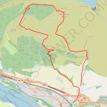
The Slacks Loop Trail in Kilpatrick Hills
- Distance: 8.7 Km
- Elevation gain: 354 m
- Maximum elevation: 359 m
- Elevation loss: 365 m
- Minimum elevation: 28 m
- Moving time: 2 h 34 m
- Moving speed: 3.4 Km/h
- Maximum speed: 24.2 Km/h
- Total time: 4 h 6 m
- Global speed: 2.1 Km/h
Interactive trail map
Trail profile
- Distance: 8.7 Km
- Elevation gain: 354 m
- Maximum elevation: 359 m
- Elevation loss: 365 m
- Minimum elevation: 28 m
- Moving time: 2 h 34 m
- Moving speed: 3.4 Km/h
- Maximum speed: 24.2 Km/h
- Total time: 4 h 6 m
- Global speed: 2.1 Km/h
About this trail
Name: The Slacks Loop Trail in Kilpatrick Hills trail, distance, elevation, map, profile, GPS track
Coordinates: 55.92452 -4.47355 55.94700 -4.44596
Other hiking, mountain biking, running and outdoor activity trails
Click on a trail to view its statistics, map and profile.
Jaw Reservoir, Cochno Hill and Greenside Reservoir in Kilpatrick Hills
United Kingdom > Scotland > West Dunbartonshire > Faifley
Distance: 9.6 Km • Elevation gain: 276 m • Maximum elevation: 342 m