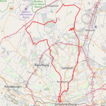
Import a GPX file

Johannesburg

#Bike #Loop

  • Distance: 93.1 Km
  • Elevation gain: 1,486 m
  • Maximum elevation: 1,753 m
  • Elevation loss: 1,486 m
  • Minimum elevation: 1,327 m

Interactive trail map

Trail profile

  • Distance: 93.1 Km
  • Elevation gain: 1,486 m
  • Maximum elevation: 1,753 m
  • Elevation loss: 1,486 m
  • Minimum elevation: 1,327 m

About this trail

Gear up for your next adventure:

🖼️Scratch-off Australia Map - Track the regions and peaks you have explored geographically
📚Map Reading & Navigation Guides - Master the art of interpreting topographic contours and symbols
🧳Outdoor Travel Organizers - Gear organization accessories
🚁Camera Drones with GPS - Capture aerial views of the landscape to compare with topo maps
🪢550 Survival Paracord - Versatile cordage for gear repair and emergency lashing

As an Amazon Associate, this site earns from qualifying purchases at no extra cost to you.