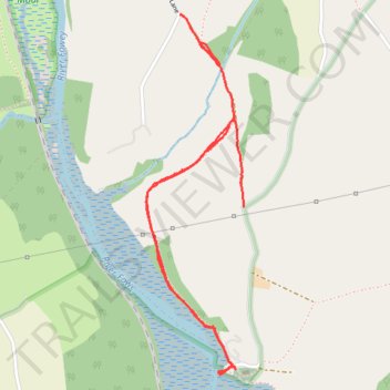
Footpath to St Winnow
- Distance: 3.7 Km
- Elevation gain: 91 m
- Maximum elevation: 72 m
- Elevation loss: 100 m
- Minimum elevation: 0 m
Interactive trail map
Trail profile
- Distance: 3.7 Km
- Elevation gain: 91 m
- Maximum elevation: 72 m
- Elevation loss: 100 m
- Minimum elevation: 0 m
About this trail
Name: Footpath to St Winnow trail, distance, elevation, map, profile, GPS track
Start: Newham Lane, Lostwithiel, Cornwall, England, PL22 0LY, United Kingdom (50.39446 -4.65570)
End: St. Winnow, Cornwall, England, PL22 0LF, United Kingdom (50.38796 -4.65232)
Coordinates: 50.38226 -4.65748 50.39448 -4.65231