
Ashland County trails
Click on a trail to view its statistics, map and profile.
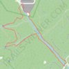
Lyons Falls / Pleasant Hill Trail Loop
United States > Ohio > Ashland County
Distance: 4.3 Km • Elevation gain: 117 m • Maximum elevation: 366 m
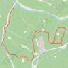
Hog Hollow / Clear Fork Gorge Trail
United States > Ohio > Ashland County
Distance: 4.3 Km • Elevation gain: 164 m • Maximum elevation: 415 m
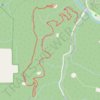
Mohican / Green Trail
United States > Ohio > Ashland County
Distance: 4.2 Km • Elevation gain: 196 m • Maximum elevation: 414 m
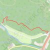
North Rim Trail
United States > Ohio > Ashland County
Distance: 1.7 Km • Elevation gain: 75 m • Maximum elevation: 365 m
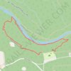
Gorge Overlook Loop Trail
United States > Ohio > Ashland County
Distance: 2.1 Km • Elevation gain: 95 m • Maximum elevation: 378 m